Occupy Antarctica is a growing visual encyclopedia for people asking what is known, what is claimed, and what still deserves a better answer. Explore the theories without losing sight of their sources.
Our aim is better questions and greater transparency—not to pre-decide what must be hidden. Below, follow a first investigation from the landscape beneath the ice to the documents behind the stories.
There really is a hidden Antarctic landscape. The stronger question is not whether something exists beneath the ice—but what has been measured, what remains unknown, and which extraordinary claims survive scrutiny.
BACKGROUND: ORIGINAL AI ILLUSTRATION / NOT DOCUMENTARY EVIDENCE
First: look beneath the obvious
A continent you cannot understand from its surface.
Ice can cover solid ground and, in some places, liquid water. This simple diagram explains those three things—nothing more.
1 / ICE SHEETThe frozen surface and thick ice above the ground.
2 / A SUBGLACIAL LAKEWater can exist beneath the ice in some places.
3 / BEDROCKThe land beneath the ice: mountains, valleys and basins.
Simple explanation—not a measured location, photograph, or scale drawing. It does not show lands beyond Antarctica.
How do we know? Radar and other surveys help reconstruct buried terrain. Satellite changes can indicate lake activity; direct sampling provides different evidence at selected sites.
What this means: “Beneath the ice” and “beyond an ice wall” are different questions. Use the research below for the first; use the interactive map to compare the second.
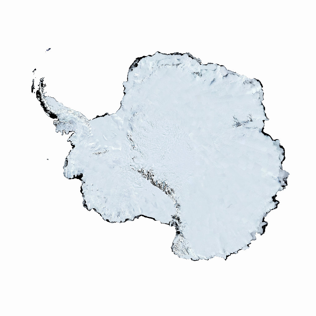
Bedmap3 combines more than six decades of surveys to model the terrain beneath Antarctica’s ice. It is a data-based reconstruction—not a photograph taken after removing the ice.
What makes it significant
The familiar white map conceals real topography. The underlying data and their gaps are a better starting point than an unlabeled viral render.
ESA reports 85 newly identified active subglacial lakes from a decade of CryoSat observations. Surface-height changes reveal filling and draining below the ice.
What makes it significant
This is a dynamic hidden water system. These observations are not photographs of open caverns, and they do not establish a hidden civilization.
Research at Lake Whillans found a viable microbial ecosystem beneath the West Antarctic ice sheet. Unlike an inference from an image, this case involved samples from the hidden environment.
What makes it significant
Life below the ice is not merely a movie premise. The evidence supports microbial life—not an inhabited lost city or a claim about intelligent beings.
Ice obscures terrain, water systems, and ecosystems. Public research shows that there is much more than a blank frozen surface.
“Hidden by someone” is another claim.
Intentional concealment requires evidence of an actor, an act, and material being concealed. The existence of an unknown or inaccessible landscape does not supply those missing pieces.
Then: inspect what attracts the theories
Three originals. Three reasons to look closer.
These objects help explain why the stories feel compelling. Their value comes from examining exactly what they do—and do not—show.
01 / A WORLD THAT LOOKS DIFFERENT
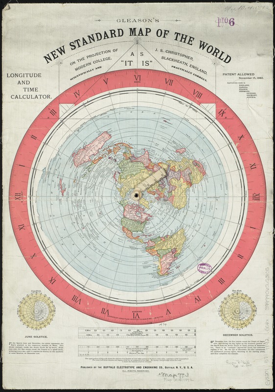
The map that moves Antarctica to the edge.
Why adherents find it significant
Gleason’s circular world layout makes a perimeter Antarctica visually intuitive. It offers a concrete object to point to, rather than an abstract claim.
What is corroborated
The historical artifact is genuine, and its flat-Earth advocacy context is documented by its holding institution.
What would make it more than an old claim?
Independent measurements matching the model’s distances and routes. A map’s age, detail, or beauty does not settle whether its geography works.
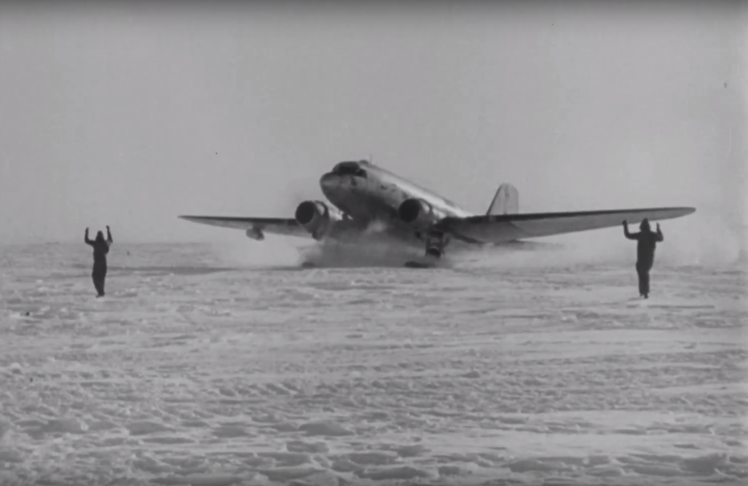
Highjump was real. That is where the inquiry starts.
Why adherents find it significant
A large naval operation in a remote place naturally invites questions about objectives, equipment, and what was learned.
What is corroborated
The National Archives provides expedition imagery and film records, including training and equipment-testing context. Those records are not, by themselves, documentation of a secret war.
What original would strengthen the extraordinary account?
An authenticated operational record describing the alleged event, with traceable provenance and independent corroboration. Ask for the document, date, author, and full context—not just a retelling.
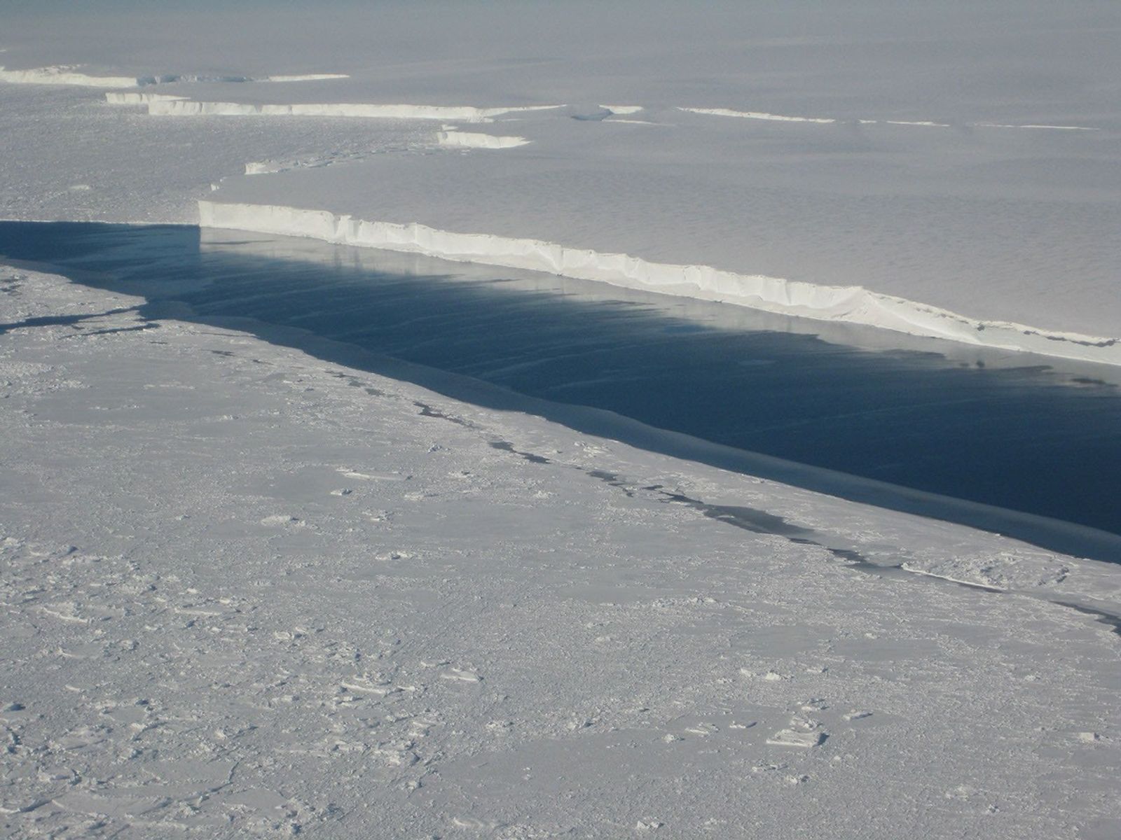
The photograph is real. Now test the interpretation.
Why adherents find it significant
The sheer ice front resembles the physical barrier described in ice-wall narratives. The image can make the claim feel tangible.
What is corroborated
NASA identifies this as the Venable Ice Shelf front, photographed in October 2008. A documented ice front establishes a local feature; an encircling world boundary is a much larger assertion.
What observation could distinguish the explanations?
A route and measurement that make different predictions under the competing layouts, evaluated with original records and independent checks.
Which location, record, event, or image? A specific question can be investigated. “Everything is hidden” cannot be tested as a single claim.
B / DEFINE THE TEST
Compare explanations.
Write down what each explanation predicts and what result would count against it. Keep official explanations and alternative theories subject to the same standard.
C / REQUEST THE ORIGINAL
Close one evidence gap.
Find the dataset, obtain the archival context, or request an identified record. Publish the reply fairly, even if it changes the story.
There is already compelling evidence of a hidden Antarctic environment. Whether any particular government is concealing a further discovery remains a separate question. That is a reason to investigate precisely—not to pretend the answer is already known.